projects
Recent geospatial work across East Africa
A selection of the projects we've delivered for water utilities, counties, real-estate developers, agribusinesses and education institutions across the region. Filter by sector or open any project to read the brief, our approach and the outcome.
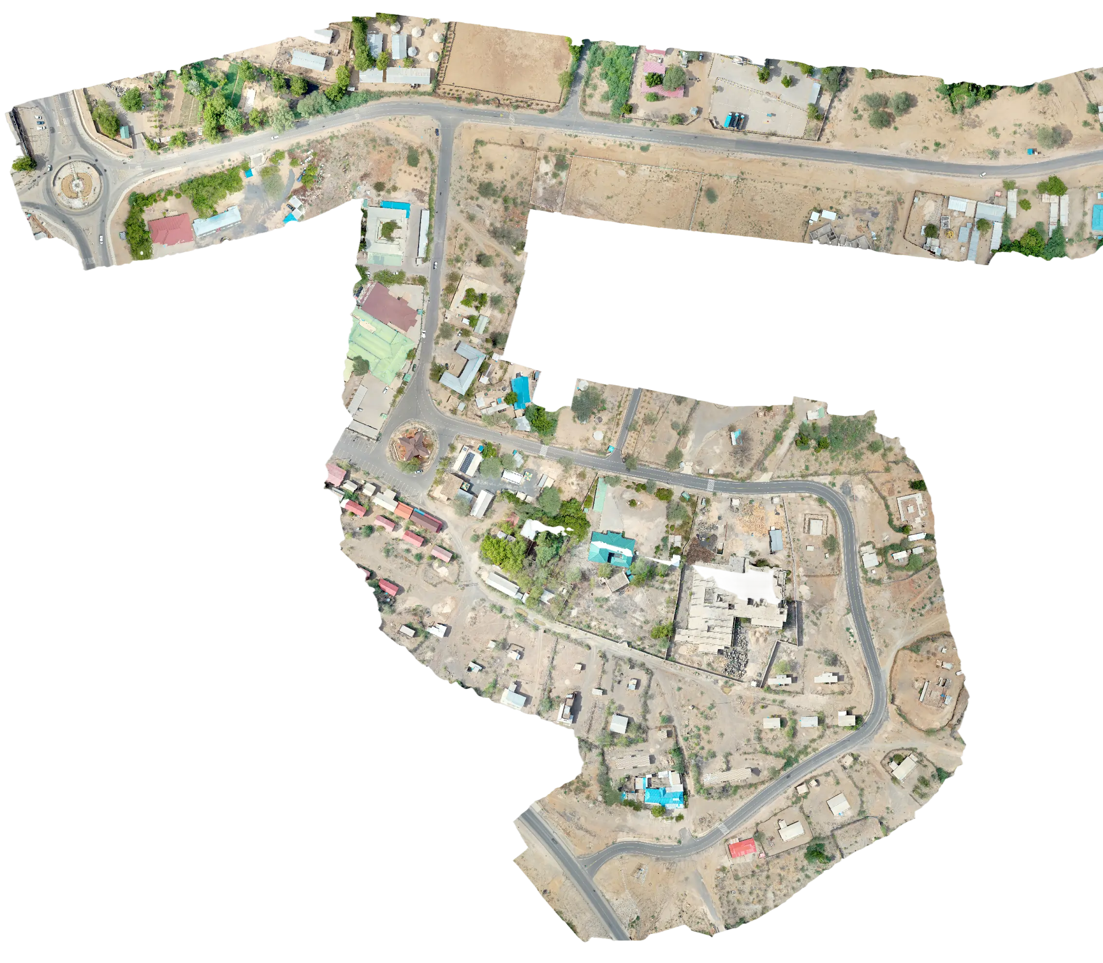
Topographical Survey & Control Point Establishment for a 201 km Pipeline Corridor
Lodwar, Turkana County View case study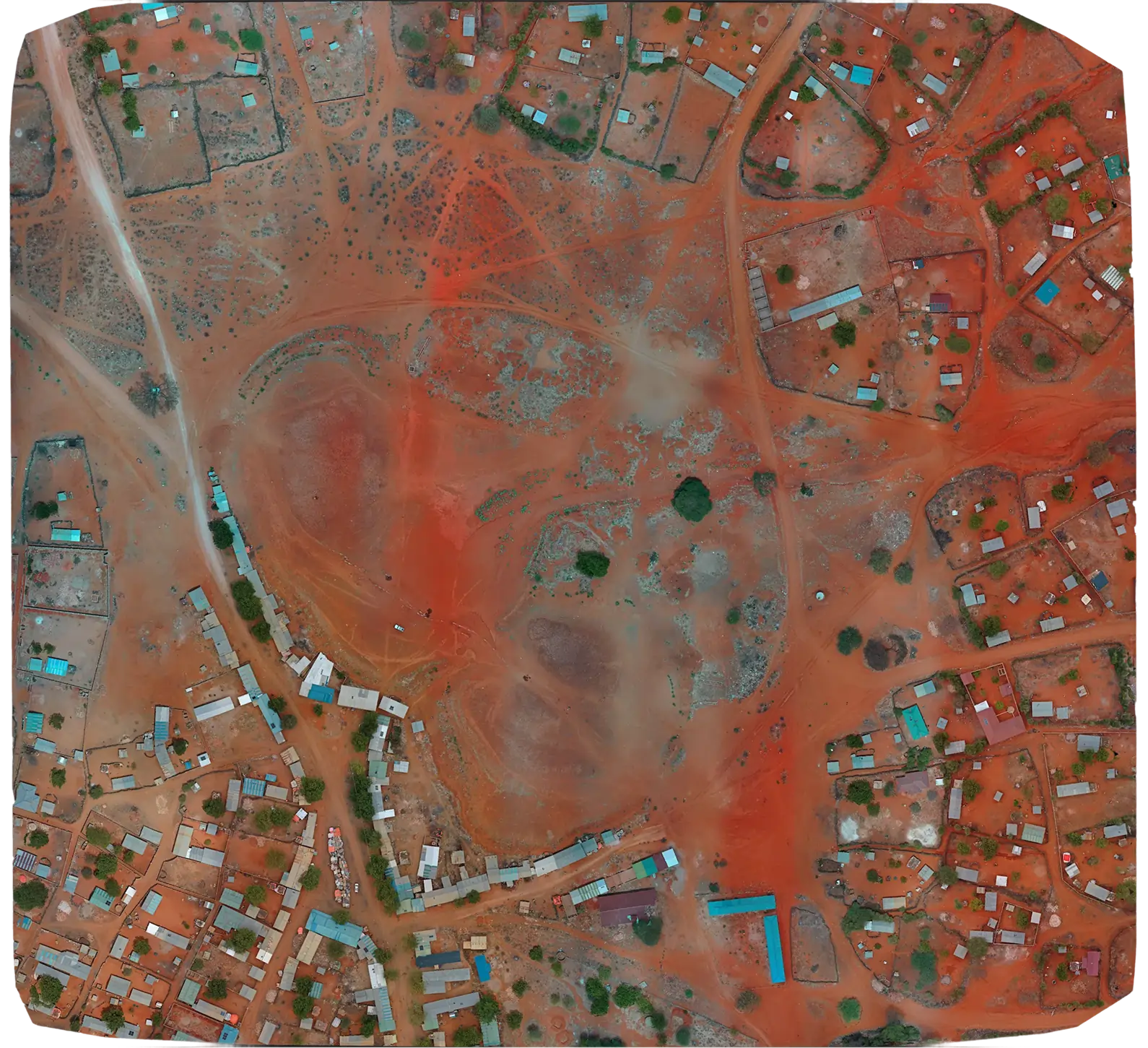
Topographical Survey of 60 Sites Across Five Northern Kenya Counties for Managed Aquifer Recharge (MAR)
Turkana, Marsabit, Mandera, Wajir & Garissa Counties View case study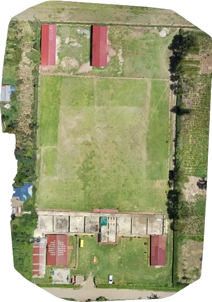
Lakeview Heralds Academy Enhances Campus Planning with Drone Mapping
Kenya View case study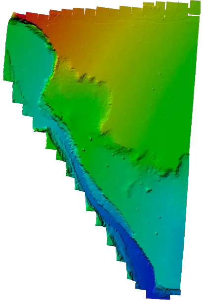
Duka Moja Ranch Ltd Unlocks Land Potential with Precision Drone Topographical Survey
Kenya View case study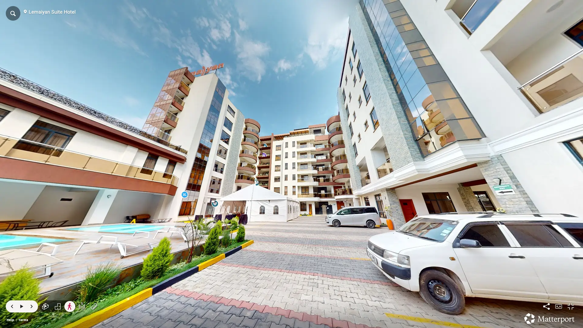
Lemaiyan Suites – Immersive Virtual Tour for Hotel Marketing
Naivasha, Kenya View case study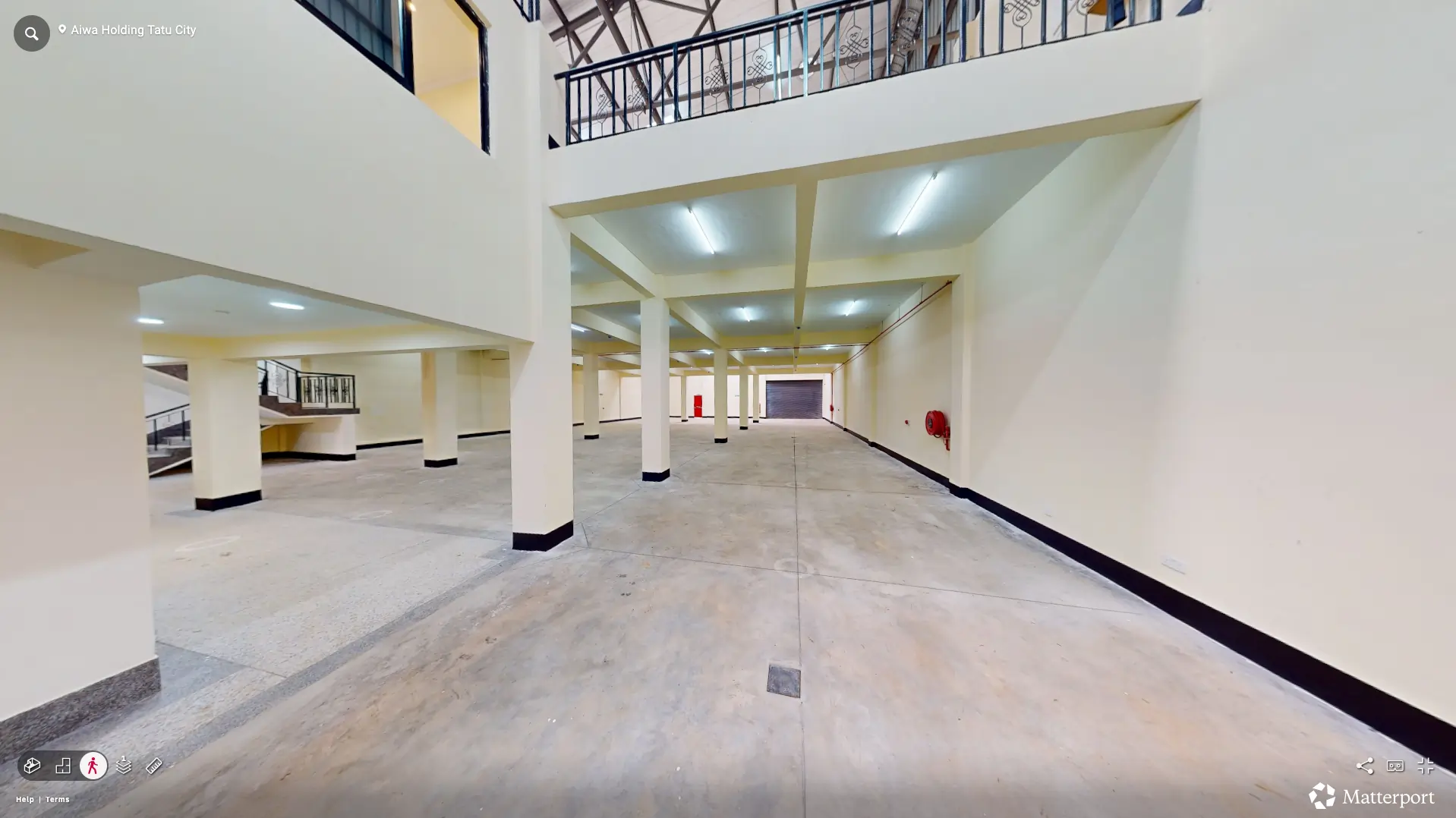
Aiwa Holdings (Kifaru SEZ) – Warehouse Virtual Tour & Drone Footage
Tatu City, Kenya View case studyBacked by certifications, partnerships and standards that matter
We hold the regulatory approvals and supplier partnerships required to deliver compliant, audit-ready geospatial outcomes across East Africa.

