Bathymetric contour maps
Depth contours at the interval your engineering or environmental team needs, in the project CRS.
Underwater depth mapping of lakes, rivers, dams, reservoirs and coastal zones — for engineering design, dredging, environmental assessment and water-resource management.
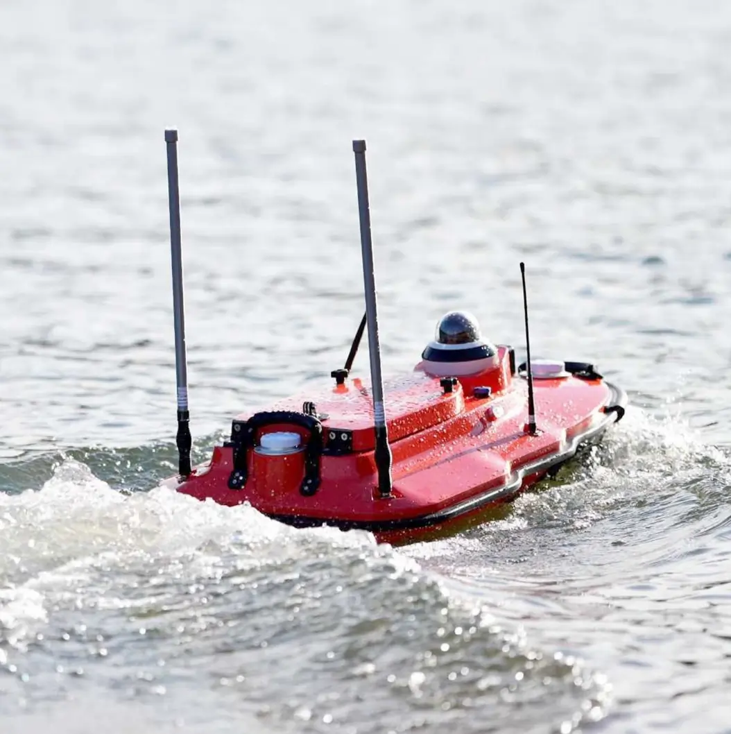
A topographical survey stops at the waterline. A bathymetric survey starts there. We measure the depth and shape of the bed beneath lakes, rivers, dams, reservoirs, harbours and coastal zones using single-beam and multi-beam sonar, tied to the same RTK/GNSS control framework as our land surveys.
The output is a bathymetric contour map, a digital depth model and, where needed, a volume estimate — the numbers engineers use to design dredging campaigns, assess dam capacity, model flood risk, plan water supply and characterise aquatic environments.
Underwater terrain data in the same quality and format discipline as our land surveys.
Depth contours at the interval your engineering or environmental team needs, in the project CRS.
A raster or TIN model of the bed surface for import into CAD, GIS or hydrological modelling software.
Water-body storage capacity at specified levels — for dam safety, reservoir management and dredging quantity assessment.
Channel and reservoir profiles for engineering design, flood modelling and navigation assessment.
Methodical transects, clean positioning, and the same control discipline we apply on land.
Transect spacing, datum, tidal or water-level regime and deliverable formats are agreed before mobilisation.
Sonar and GNSS equipment is deployed on a survey vessel. Transects are run at controlled speed with real-time depth and position logging.
Raw soundings are cleaned, tide- or water-level-corrected, and gridded into a digital depth model. Contours and profiles are extracted.
Contour maps, depth models, volume estimates and a short methodology note are delivered in the agreed formats.
Any water body where the question is 'what's down there?' or 'how much can it hold?'.
Storage capacity assessment, sedimentation monitoring, dam safety review and water-supply planning.
Channel cross-sections and bed profiles for hydraulic modelling, bridge design and flood risk assessment.
Pre- and post-dredge surveys for volume verification, navigation channel design and port development.
We combine bathymetric data with our land surveys and hydrological models to give engineers a complete picture — above and below the waterline.
Answers for engineers, dam managers and environmental consultants.
Single-beam echo sounders for most inland water bodies, with RTK/GNSS for positioning. Multi-beam sonar for larger or more complex surveys where full-coverage coverage of the bed is required. The choice depends on the water body size, depth and the resolution the project needs.
Vertical accuracy depends on the sonar, water conditions and positioning. On calm inland water bodies with RTK positioning we typically achieve ±10–15 cm vertical accuracy. Horizontal positioning is survey-grade via RTK/GNSS. Accuracy is documented in the survey report.
Yes, down to about 0.3 m depth with single-beam equipment. Very shallow sections may need wading measurements or RTK survey of the exposed bed. We combine methods as needed to build a continuous profile.
Yes — and this is often the most useful output. We merge the underwater depth model with the above-water terrain model to create a seamless surface for flood modelling, dam design or reservoir capacity analysis. Both datasets use the same control framework so they stitch together cleanly.
Other things our team gets brought in for, often on the same projects.
We hold the regulatory approvals and supplier partnerships required to deliver compliant, audit-ready geospatial outcomes across East Africa.

