Georeferenced asset register
Every mapped asset with coordinates, type classification, condition rating and custom attributes — delivered as GIS layers (SHP, GPKG, GeoJSON) or spreadsheet with coordinates.
Georeferenced inventories of physical assets and natural resources — trees, poles, pipelines, buildings, water points and infrastructure — captured by drone and GNSS for management, planning and compliance.
Managing assets you can't see on a map is guesswork. We capture georeferenced inventories of physical assets and natural resources — utility poles, pipelines, water points, buildings, trees, signage, fencing, solar installations, boreholes — using drone imagery, GNSS field surveys or both, depending on the density and accuracy the project demands.
The output is a structured spatial database your team can query, filter and update: every asset tagged with its location, type, condition and any custom attributes you need. Delivered as GIS layers, CAD drawings, web maps or integration-ready datasets for your existing asset management system.
A spatial inventory your operations, planning and compliance teams can actually work with.
Every mapped asset with coordinates, type classification, condition rating and custom attributes — delivered as GIS layers (SHP, GPKG, GeoJSON) or spreadsheet with coordinates.
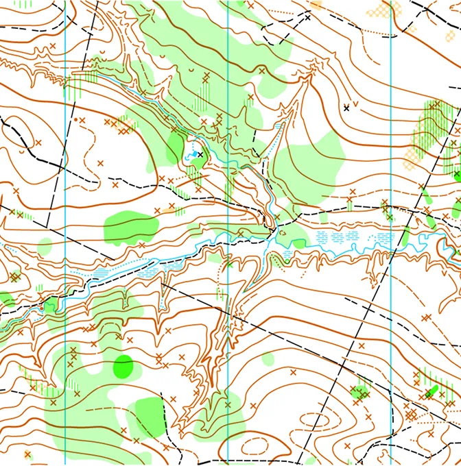
Printed or digital maps showing asset locations over orthomosaic or base-map backgrounds — for field teams, management reports and compliance documentation.
A georeferenced aerial image of the site or corridor that serves as the visual base for the asset register and any future updates.
Data formatted for import into your existing asset management, ERP or GIS platform — column mapping and coordinate systems agreed before delivery.
Scope the assets, capture the data, attribute and QA, deliver the register.
We agree which assets to capture, what attributes to record for each type, and the accuracy and format requirements for delivery.
Drone flights capture the aerial base. Ground teams or desk-based interpretation populate the asset points with location, type, condition and any project-specific fields.
Every record is attributed, cross-checked against imagery and field notes, and validated before handover. Duplicates, misclassifications and positional outliers are caught here.
The register, maps and supporting datasets are delivered in the agreed formats. We support loading into your GIS or asset management platform if needed.
Any organisation that manages physical assets or natural resources across a geographic area.
Mapping poles, transformers, pipelines, manholes, hydrants and telecoms infrastructure for network operators, counties and utilities.
Building inventories, campus asset registers, fence lines, signage and access points for property managers, universities and industrial sites.
Tree surveys, borehole mapping, water-point registers, land-cover classification and conservation area inventories for environmental and agricultural programmes.
Documented, auditable asset registers for regulatory compliance, insurance, donor reporting and ESG frameworks.
A map drawn once and never updated is a historical document, not a management tool. We structure the data so your team can maintain it — and we're available for periodic re-surveys when the register needs refreshing.
Answers for facilities managers, network operators and project teams planning an asset inventory.
Anything with a physical location: utility poles, transformers, pipelines, manholes, buildings, trees, boreholes, water points, signage, fencing, solar panels, communication towers, road furniture. If it's on the ground (or under it, with detection equipment), we can map it and attribute it.
It depends on the method. GNSS field survey gives sub-decimetre positions. Drone-derived positions from a well-controlled orthomosaic are typically within 3–5 cm. For assets identified from imagery alone, accuracy follows the GSD of the capture — usually 2–5 cm per pixel. We match the method to the accuracy your system needs.
Yes. We export in formats compatible with common GIS and asset management platforms — Esri, QGIS, Google Earth, SAP, Maximo, custom databases. Column names, attribute codes and coordinate systems are agreed before we start so the import is clean.
We deliver the data in editable formats so your field teams can add, update or retire assets. For organisations without GIS capacity, we offer periodic re-survey and update services — quarterly, annually or project-triggered.
Other things our team gets brought in for, often on the same projects.
We hold the regulatory approvals and supplier partnerships required to deliver compliant, audit-ready geospatial outcomes across East Africa.

