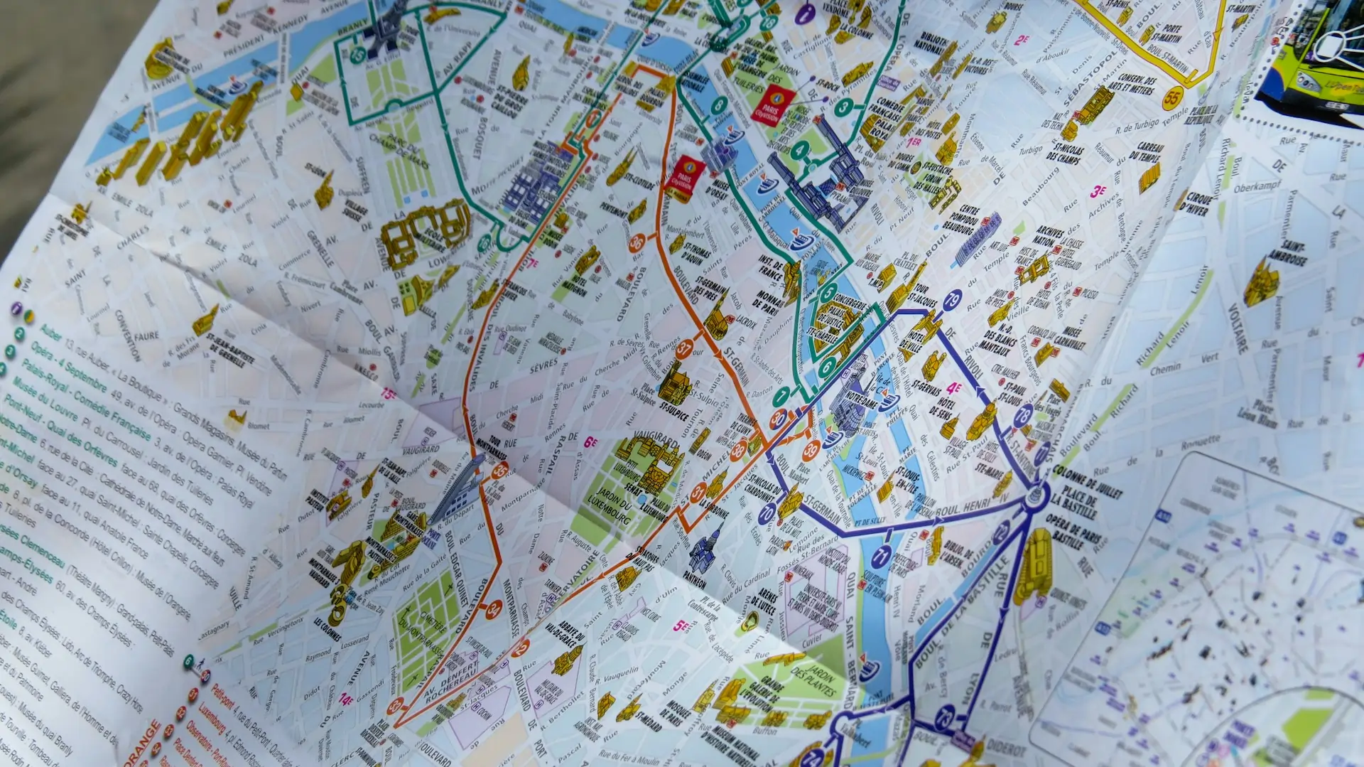
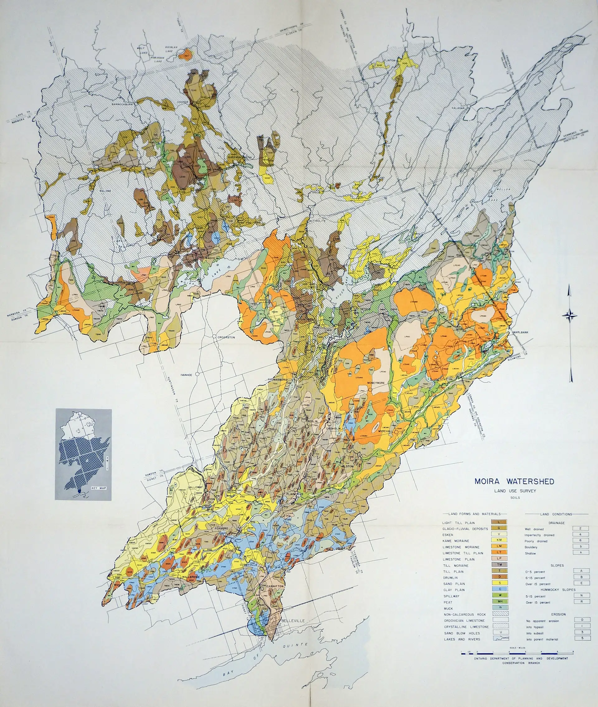
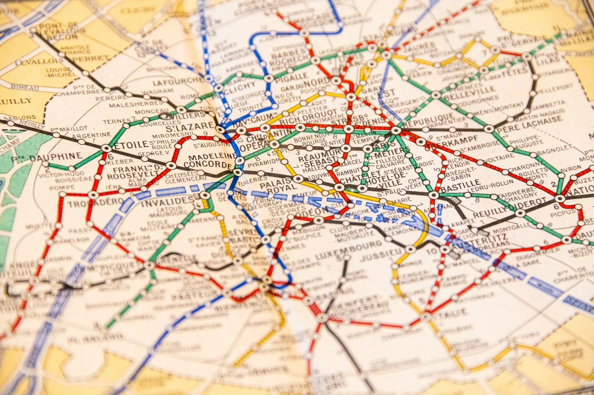
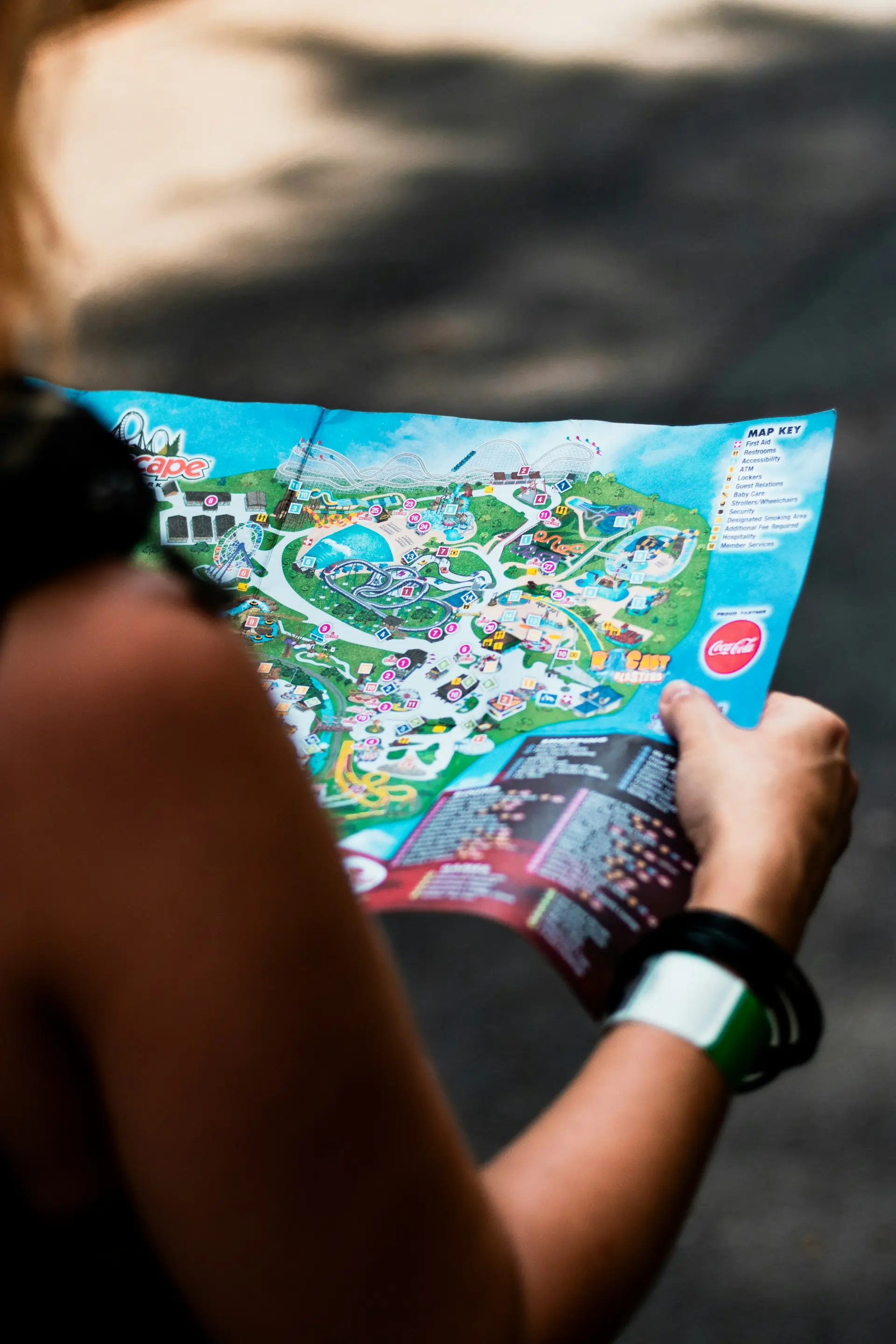
Illustrated & Artistic Maps
Bespoke illustrated maps that convey a unique sense of place — designed for tourism boards, conservancies, hotels, estates and publishers. Our cartographers combine artistic flair with geographic accuracy to produce maps that are visually striking and genuinely useful.
Whether it's a 3D bird's-eye view of a wildlife conservancy, an illustrated town guide for visitors, or a stylised estate map for a lodge, each project is hand-crafted from scratch using your data and your brand language.