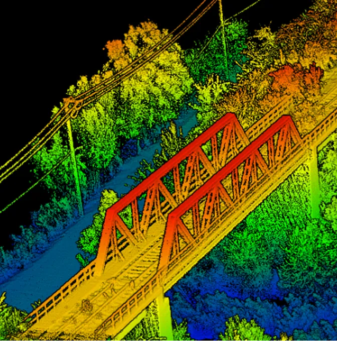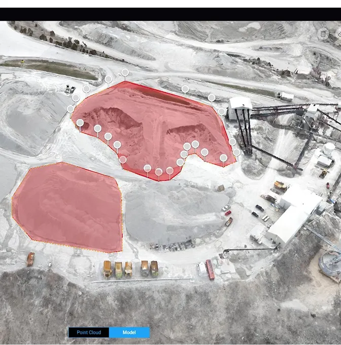
Topographical Survey
For any construction or land development project, having precise information about the ground is a crucial first step. Serian's Topographical Survey service uses our advanced drones to quickly gather detailed information about your land. We then convert this data into clear, easy-to-understand maps that show every slope, height, and important feature of your property. This detailed mapping provides a solid foundation for planning new roads, designing buildings, or any major land change, helping you make confident decisions and move your projects forward efficiently.