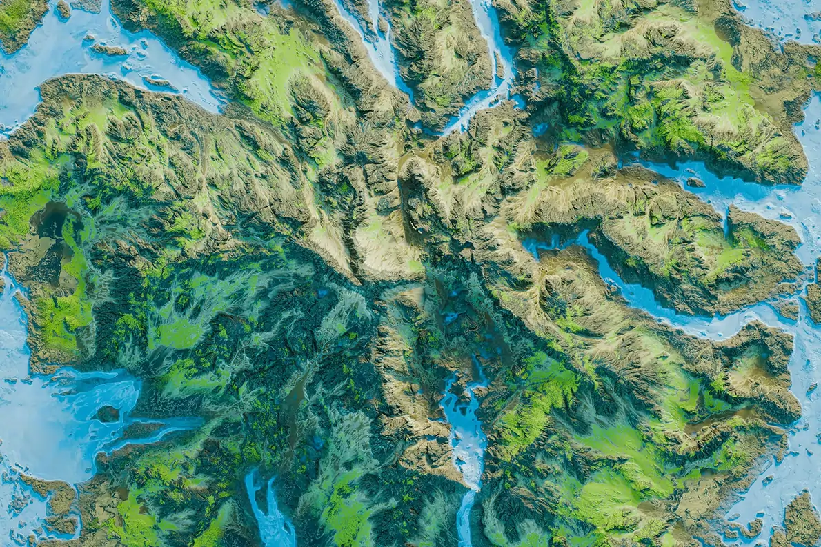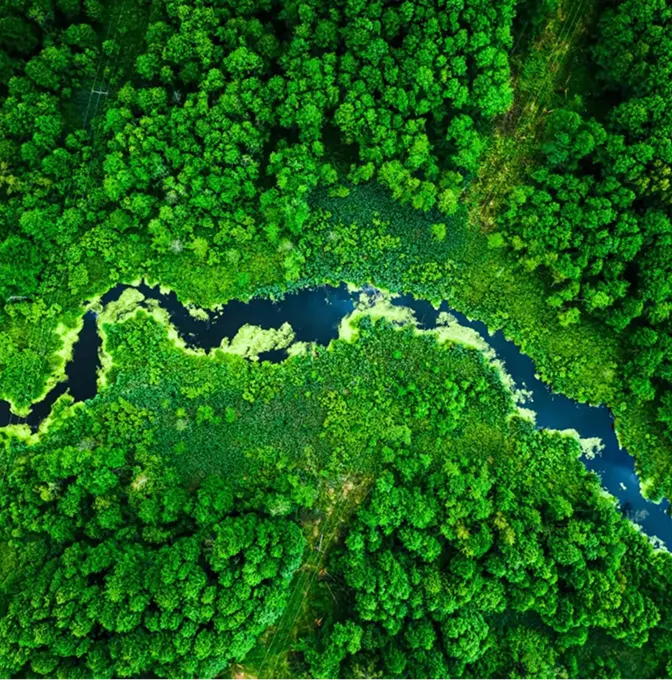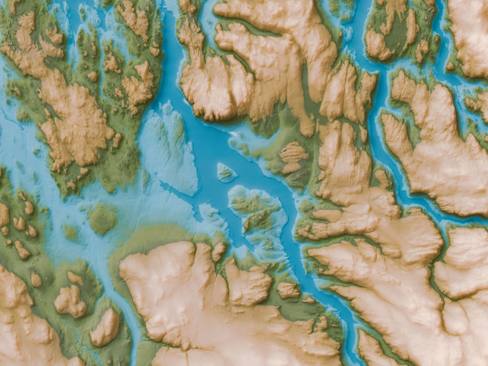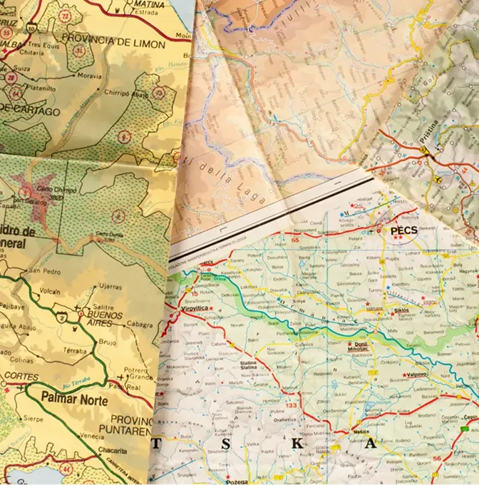
Map Design & Production
We turn GIS layers, drone orthos, satellite imagery and field-collected data into maps people actually read. Single-page thematic maps, large-format wall maps, multi-page atlases, hosted web maps — output formats are agreed before the layout work starts.
Most often used for planning submissions, public consultation, tourism, conservation and the kind of management briefings where the answer needs to fit on one page.