Field GNSS data
Boundary, feature and asset surveys captured to the accuracy your project needs.
Field, satellite, drone and remote-sensing data collection that lands a clean, georeferenced foundation for everything downstream.
Every spatial project either starts with good data or spends its life cleaning bad data. We do the first one. Field surveys, GNSS data collection, drone capture, satellite imagery and remote sensing — captured properly, georeferenced correctly, and handed over in formats your team can actually use.
What goes in determines what comes out. Most of the analysis, mapping and modelling we do for clients sits on top of acquisition we did first.
Pick the methods that fit the question. Most projects use two.
Boundary, feature and asset surveys captured to the accuracy your project needs.
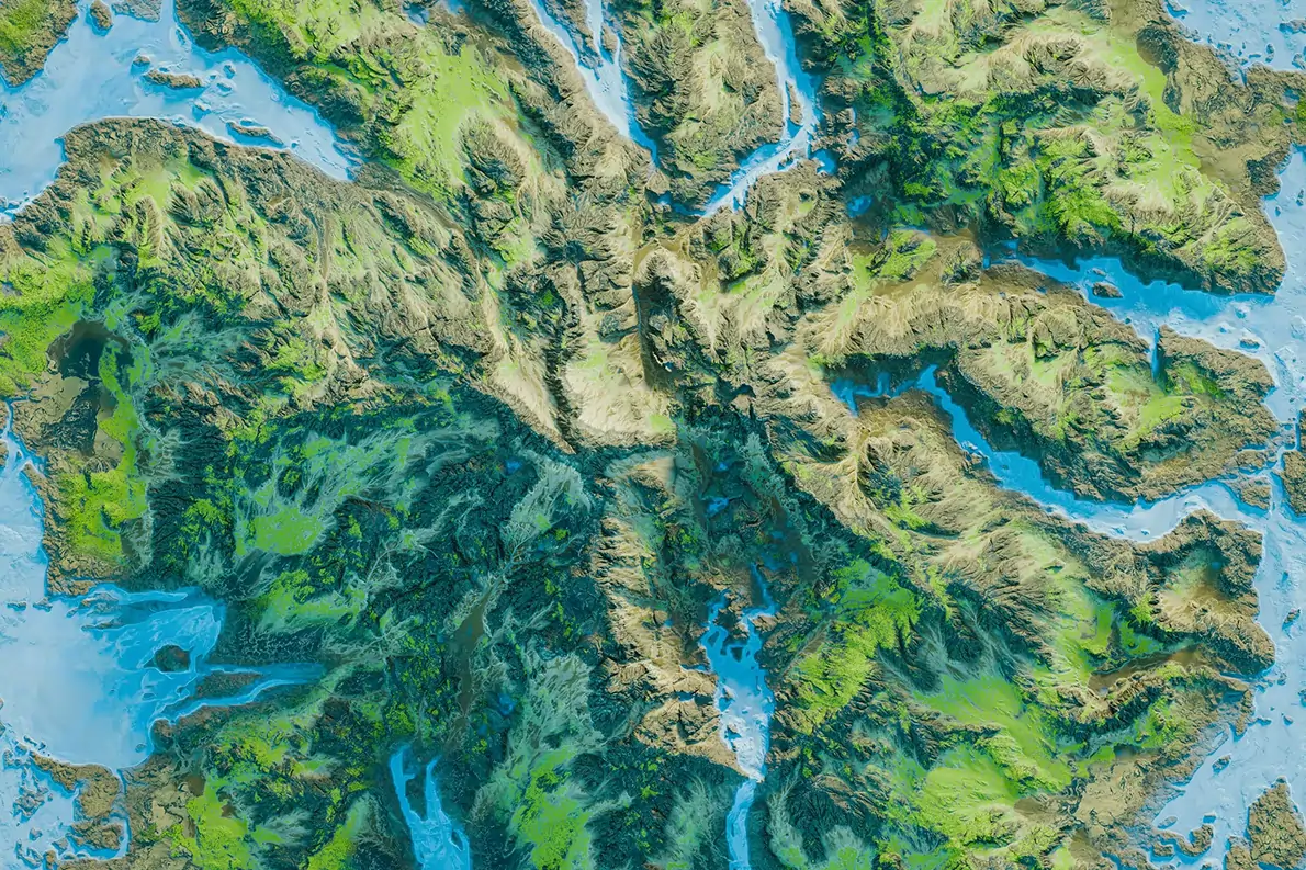
Aerial imagery, orthomosaics and surface models for areas not easily mapped from the ground.
Sourced and processed optical and radar imagery for land cover, change detection or large-area work.
Field forms, photo logging and offline-first collection apps for distributed field teams.
Plan once, capture once. Going back to site is expensive and often impossible at the same season.
We agree the data model, attributes, accuracy, formats and coordinate system before anyone leaves the office.
Teams collect ground data while drone, satellite or mobile capture runs in parallel where useful.
Captures are quality-checked, reprojected and cleaned. Errors are caught before the data leaves us.
Data goes over in agreed formats — SHP, GeoPackage, CSV, GeoTIFF — with metadata that explains what's what.
Acquisition is the start of most things downstream.
Utility, parcel, infrastructure and natural feature mapping at project scale.
Reference datasets for EIAs, conservation programmes, agriculture and land-cover monitoring.
Design-grade ground data for roads, sites, drainage and infrastructure projects.
Most of the cost overruns we see in spatial projects start with bad capture. We over-engineer this end of the work because the rest of the project pays for it otherwise.
Other things our team gets brought in for, often on the same projects.
We hold the regulatory approvals and supplier partnerships required to deliver compliant, audit-ready geospatial outcomes across East Africa.

