Boundary & Cadastral Survey
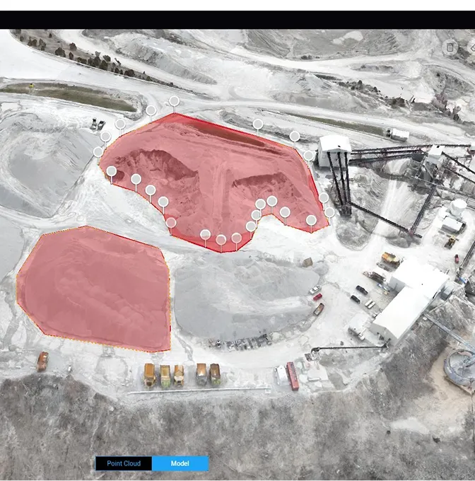
Land disputes, subdivision approvals, title processing and development planning all start with the same question: where exactly is the boundary? We establish, re-establish and verify property boundaries using RTK/GNSS rovers, total stations and, where useful, drone imagery to provide the spatial context around the parcel.
You get a survey plan that holds up at the land registry, in a boardroom, or in court — with the control documentation, beacon coordinates and cadastral references behind it.