The brief
Lakeview Heralds Academy needed accurate, current spatial data of the entire campus to support master-planning, drainage analysis and a phased expansion plan.
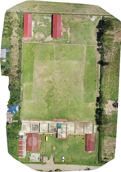
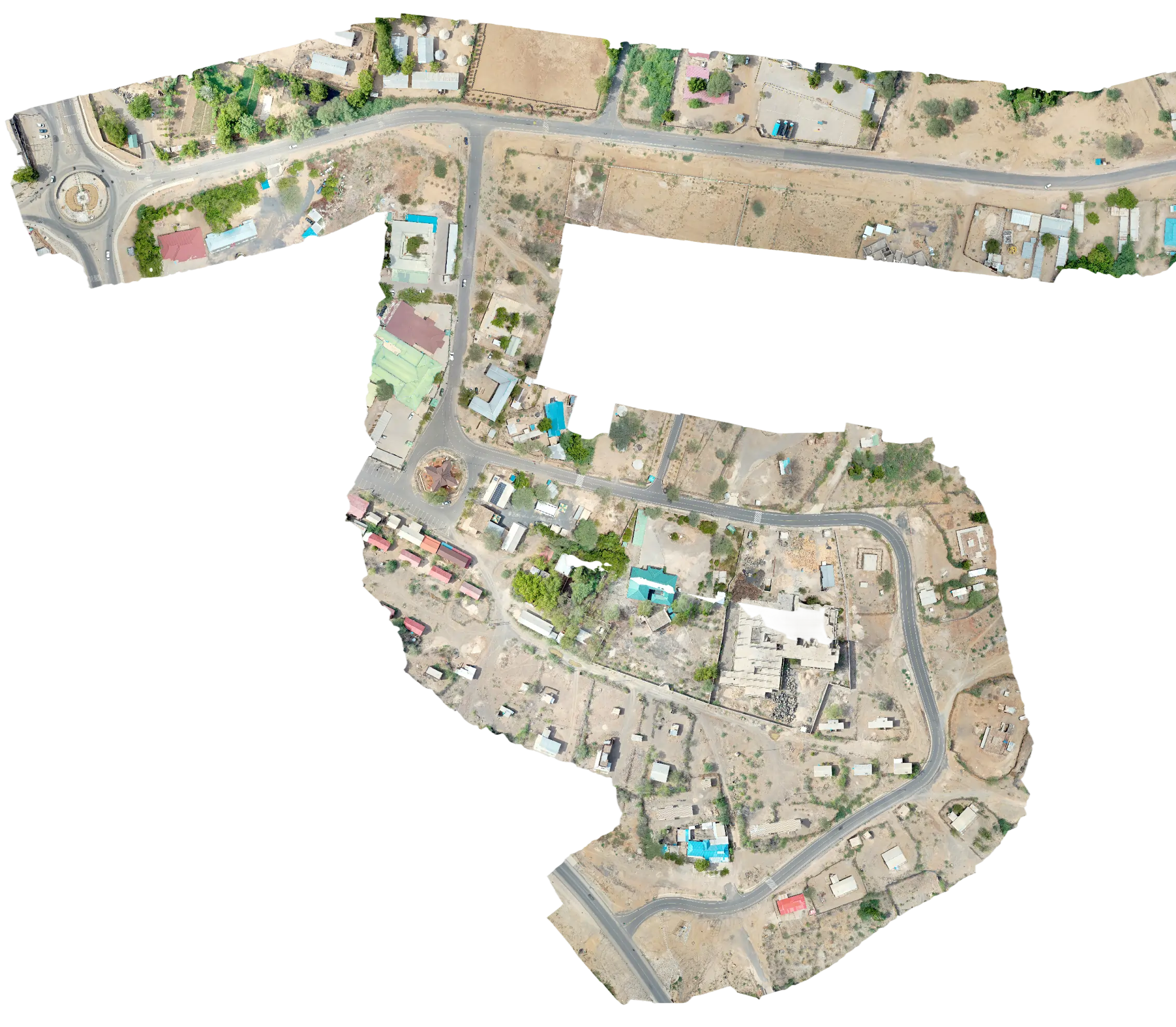
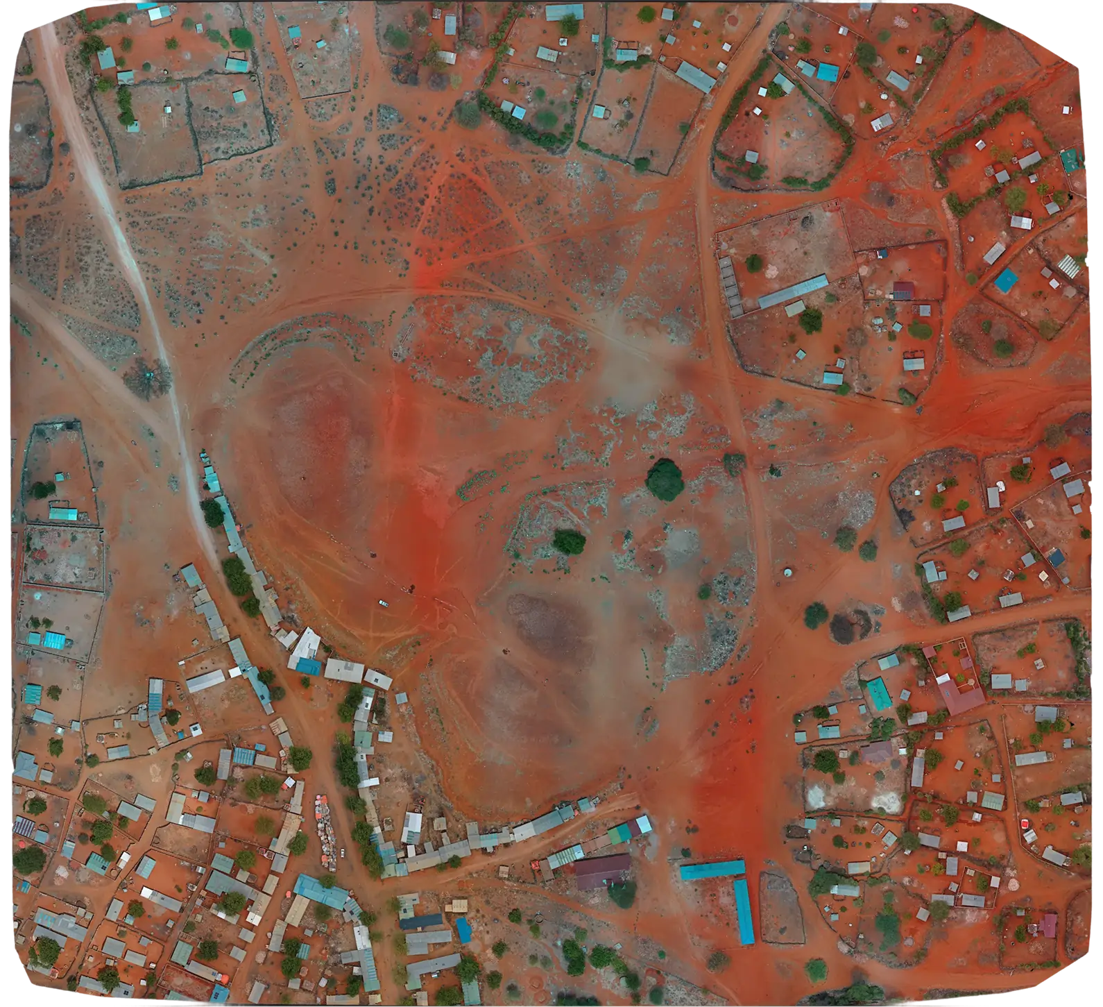
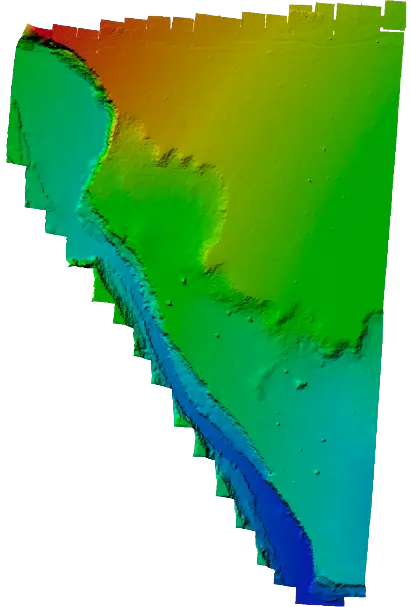
We mapped the full Lakeview Heralds Academy campus with a DJI Mavic 2 Pro to produce a high-resolution orthophoto and Digital Elevation Model. The deliverables informed campus master-planning, drainage decisions and a future expansion brief.
Lakeview Heralds Academy needed accurate, current spatial data of the entire campus to support master-planning, drainage analysis and a phased expansion plan.
We flew the campus with a DJI Mavic 2 Pro on a planned grid mission, captured ground control with an RTK rover, and processed the imagery into an orthophoto and DEM ready for the planning team to import into their CAD environment.
The school's planning team gained a single, accurate basemap of the campus that supported drainage, walkway and building-footprint decisions for the next phase of campus development.