The brief
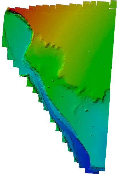
Duka Moja Ranch Ltd wanted to unlock the value of its land by understanding terrain, drainage and access in survey-grade detail before committing to an infrastructure layout.
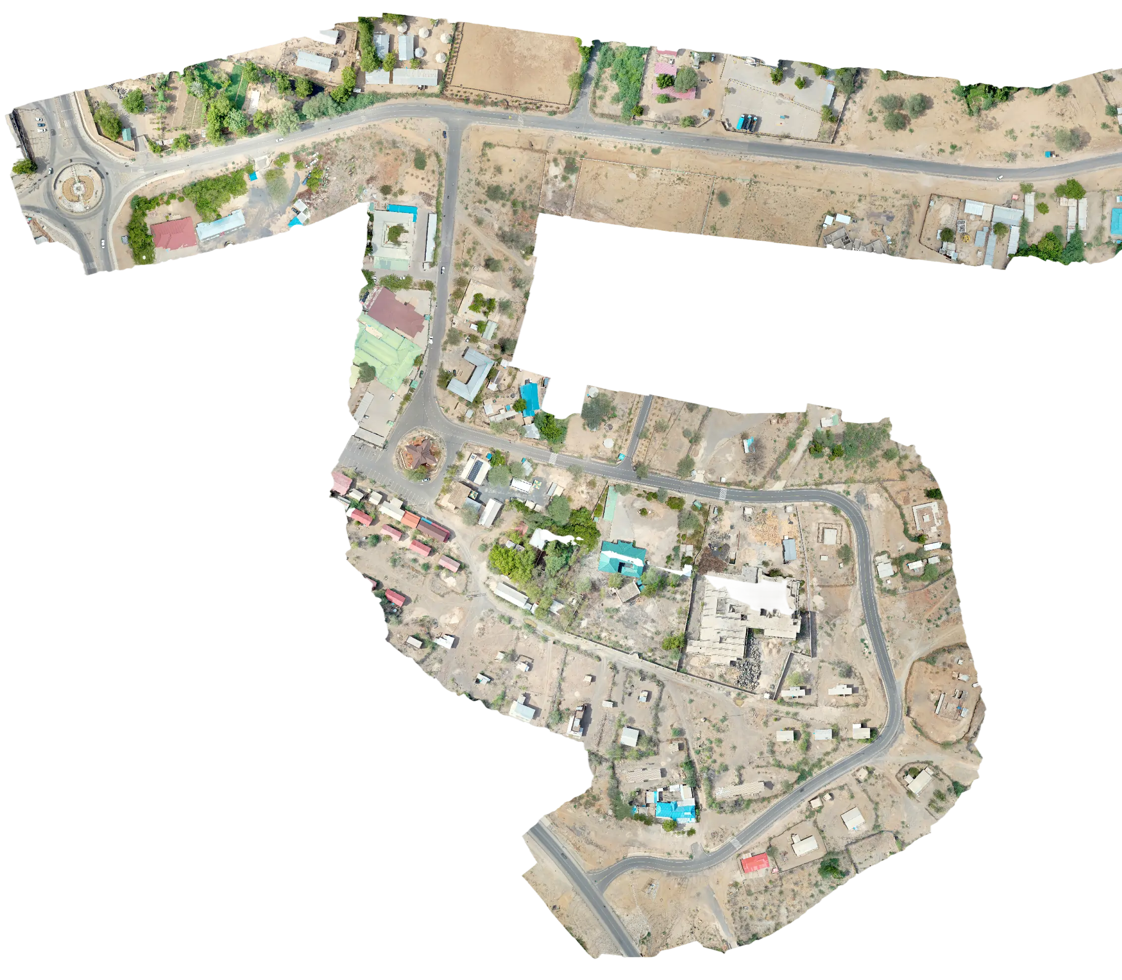
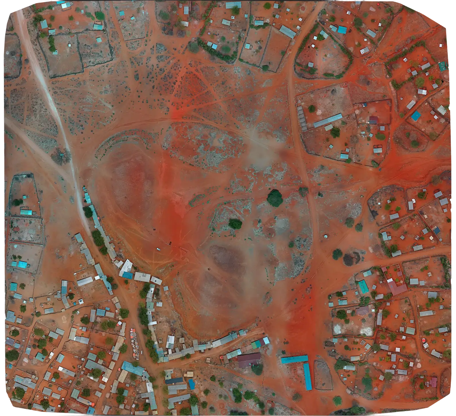
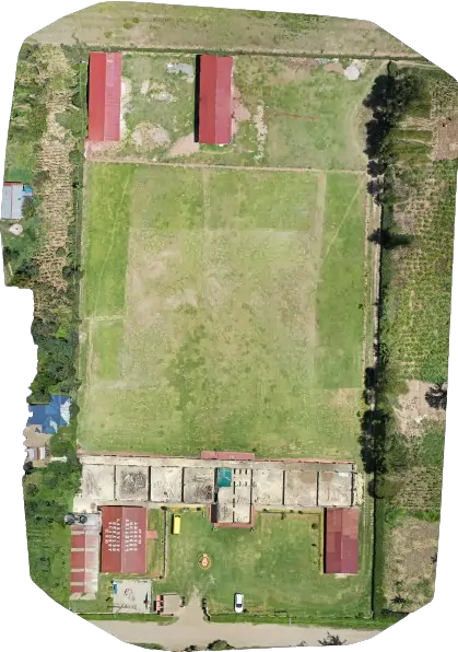
Serian deployed a Mavic 2 Pro drone with high-resolution 4K imagery and RTK GNSS to capture detailed aerial data over Duka Moja Ranch Ltd land holdings. Outputs supported land-use planning, parcelling and infrastructure layout.
Duka Moja Ranch Ltd wanted to unlock the value of its land by understanding terrain, drainage and access in survey-grade detail before committing to an infrastructure layout.
Our crew planned the mission around the ranch boundary, captured RTK-tied ground control and flew the property with a Mavic 2 Pro. The dataset was processed into an orthomosaic and DTM aligned to the ranch's working CRS.
The owners now have an accurate base map of the ranch suitable for parcelling, infrastructure layout and a future detailed engineering brief.