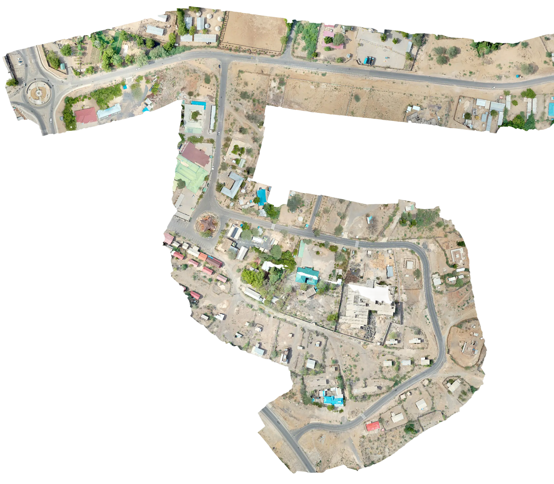
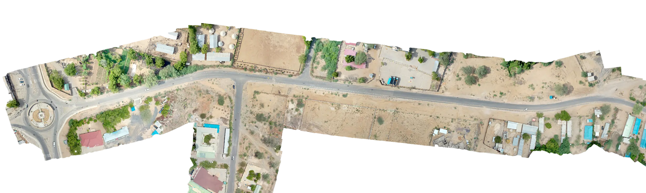
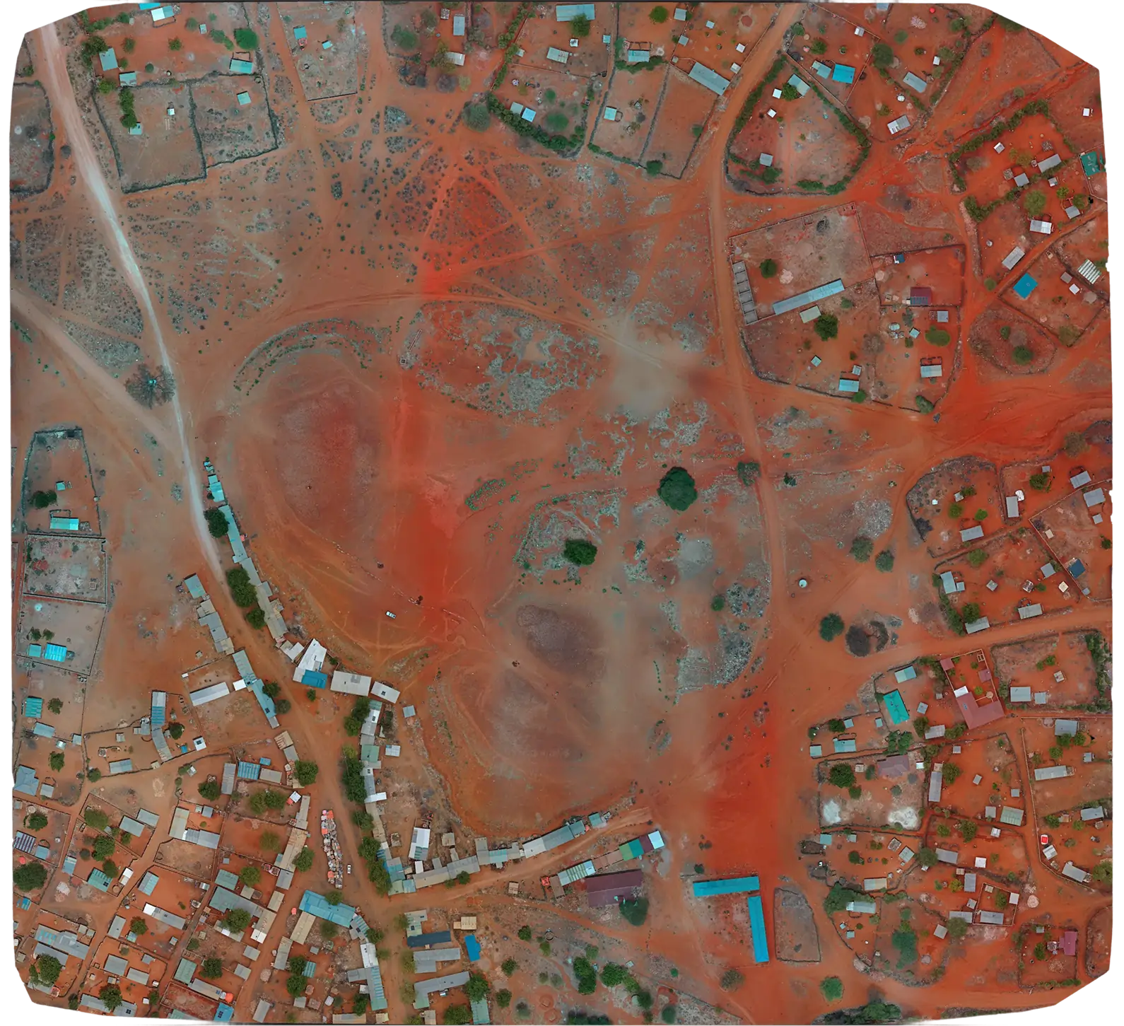
Serian was engaged to capture survey-grade topographic data and establish geodetic control along a 201 km water-pipeline corridor in Lodwar, Turkana County. Using a DJI Mavic 3 Enterprise and PPP-validated GNSS control, our team produced CAD-ready deliverables for downstream pipeline design.
The brief
The client required survey-grade topographic data and a new geodetic control network along a 201 km pipeline route in Turkana County to support detailed pipeline design and construction setting-out.
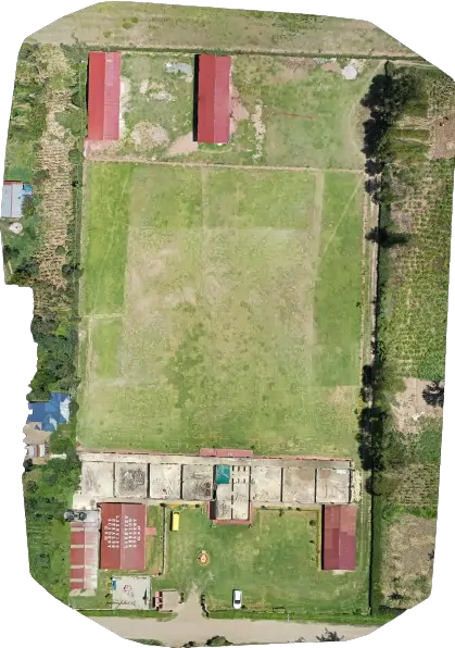
The corridor crossed a mix of semi-arid plains, escarpments and dry river beds, with limited existing control and minimal road access in several segments.
Our approach
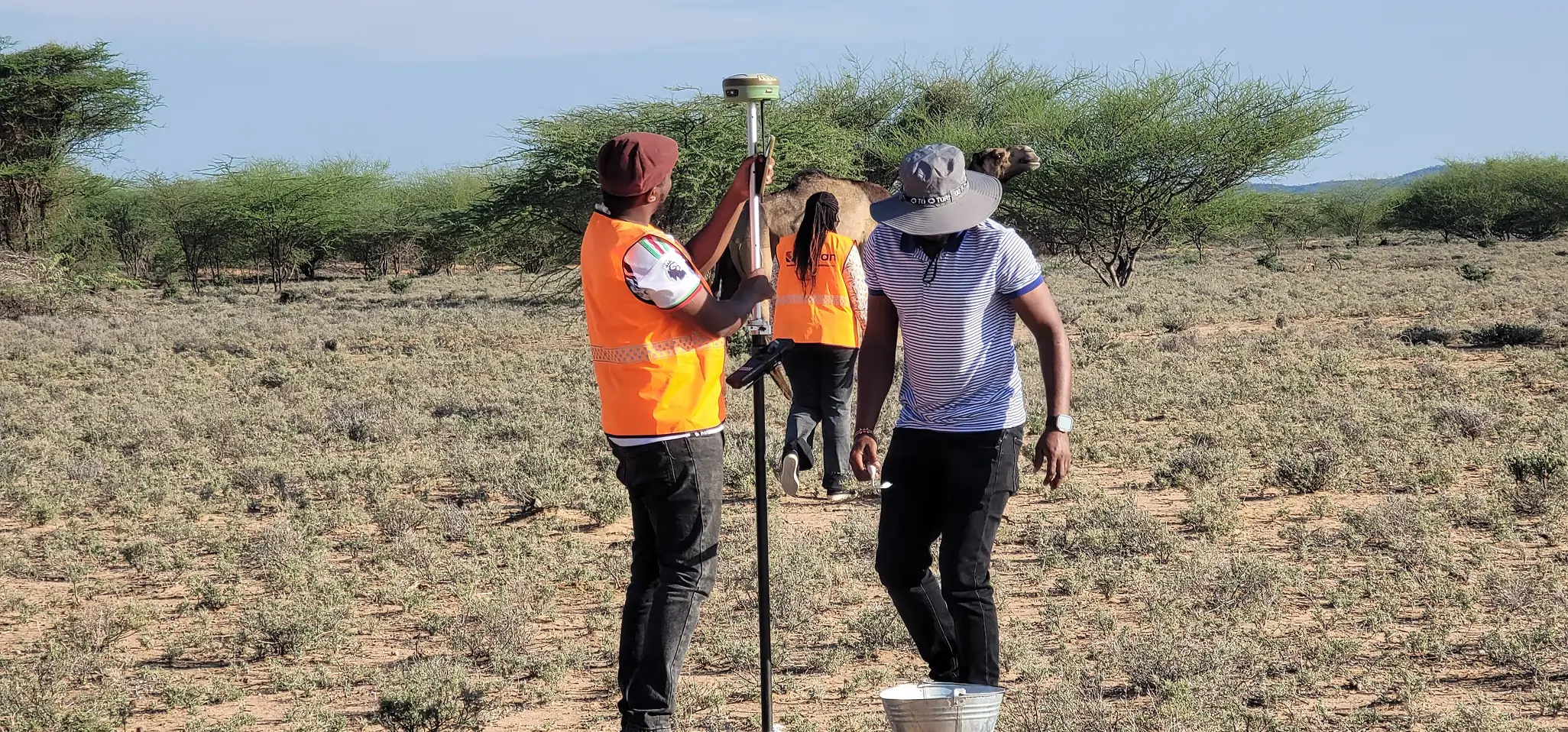
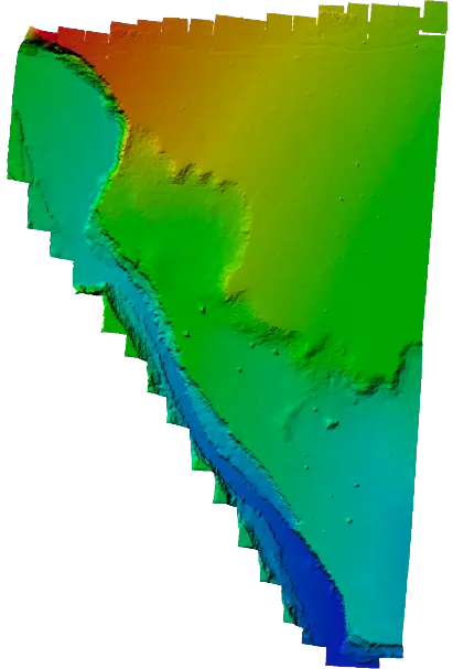
We deployed a DJI Mavic 3 Enterprise for corridor photogrammetry combined with FOIF A90 GNSS for PPP static control and RTK GCP observations. A 12-point control network was established and tied to Survey of Kenya geodetic beacons.
Field crews worked in rolling segments to keep deliverables flowing back to the GIS team for QA and processing while the next stretch was being captured.
Outcome
We delivered 1:1 000-scale topographic maps, cross-sections at 20 m intervals, a 5 cm DEM and 3 cm orthophotos across the full 201 km corridor, along with a traceable geodetic control report in Arc 1960. The downstream design team picked up directly from our deliverables without rework.