The brief
The MAR programme needed consistent topographical capture across 60 candidate recharge sites spread over five counties to feed into hydrological modelling and infrastructure design.
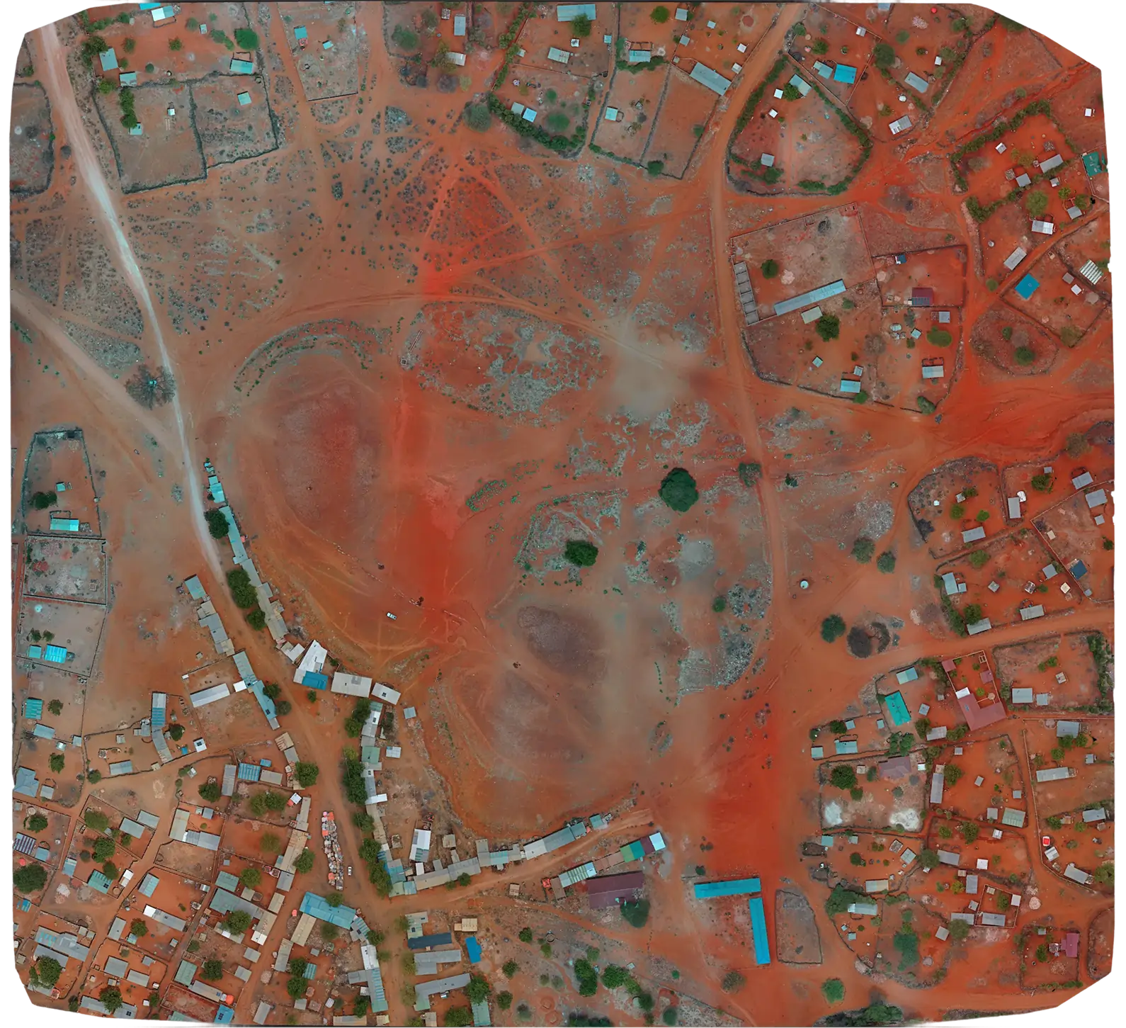
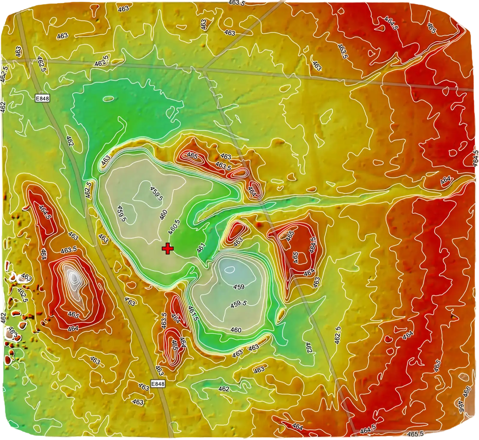
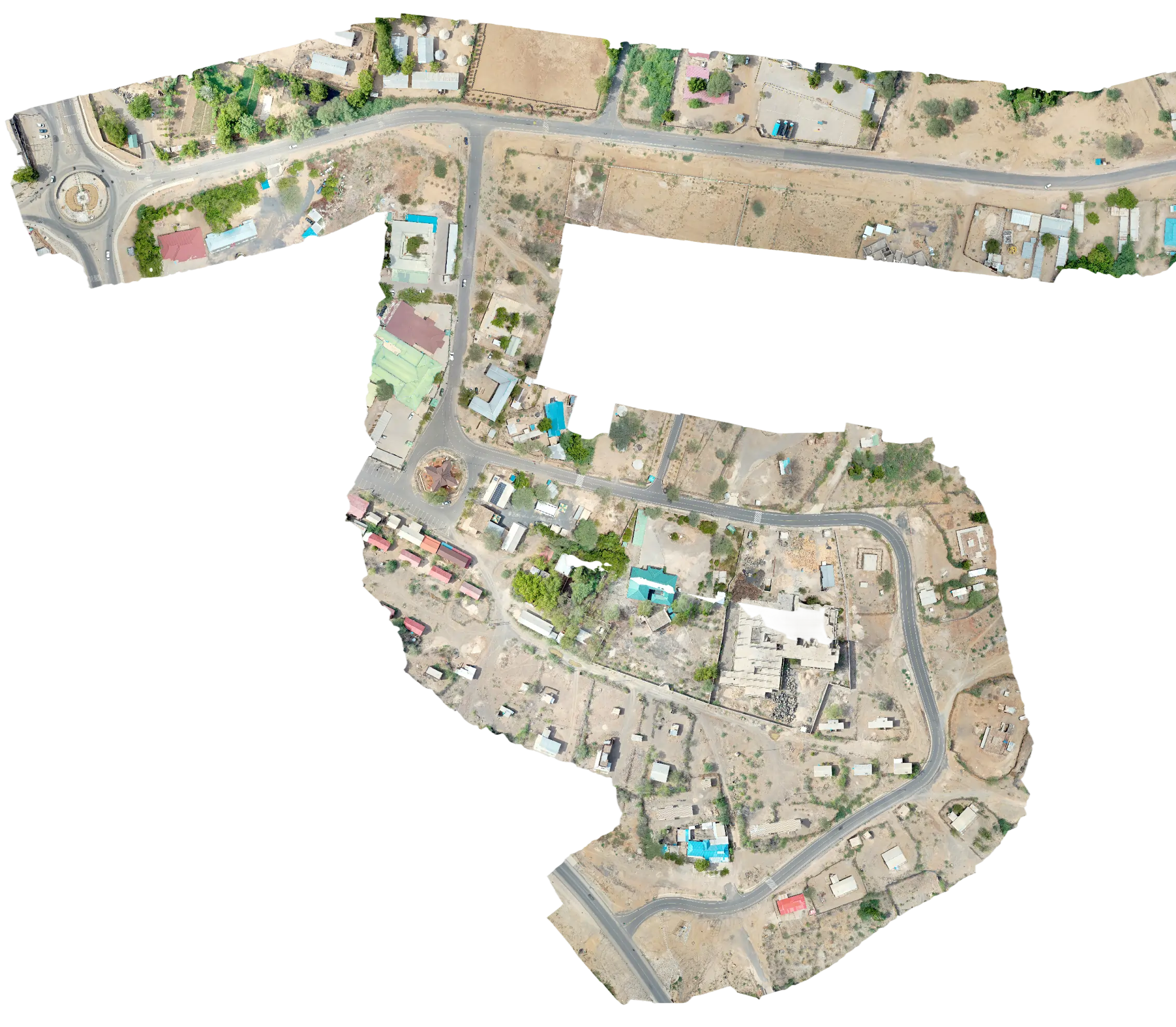
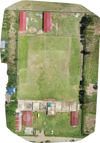
Serian conducted topographical surveys across 60 candidate Managed Aquifer Recharge (MAR) sites in five northern Kenya counties. Each site was approximately 80 acres. Outputs supported suitability screening and detailed design of MAR water-storage infrastructure.
The MAR programme needed consistent topographical capture across 60 candidate recharge sites spread over five counties to feed into hydrological modelling and infrastructure design.
We standardised mission planning, ground control density and processing parameters so that every site produced directly comparable outputs. Crews were rotated through the counties on a rolling schedule.
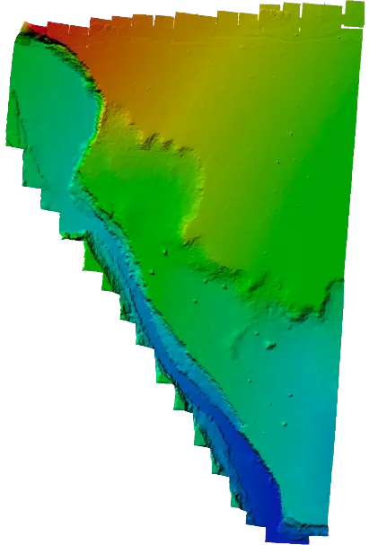
Each site was processed into an orthomosaic plus a DTM, with consistent CRS and resolution to feed straight into the modelling pipeline.
Deliverables across all 60 sites came in on a consistent template. The hydrological-modelling team was able to ingest them without per-site reprocessing, accelerating MAR site selection.